Sign up to receive our latest COPE stories, events and news about education, research and opportunities.
Geo Information in Disaster Situations
This course is a part of

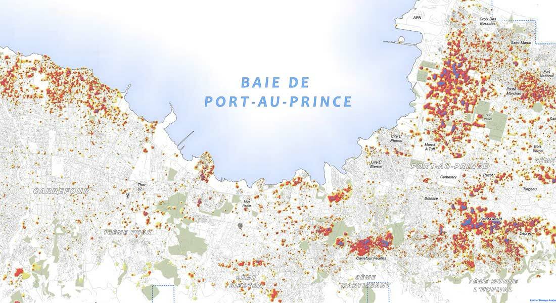
On this course you will get an overview of tools available in the Geographic Information System (GIS) software for situation mapping.
Through work on a specific case study, you get hands-on experience in identifying, collecting, preparing, analysing and creating situation maps for a disaster-prone city.
To provide humanitarian professionals with the best Geo Information System (GIS) tools and satellite-based solutions, this course is offered as a collaboration between the Departments of Geosciences and Natural Resource Management and Public Health at the University of Copenhagen.
Course content
A central part of the course is the case which involves collecting information and GIS data from web sources, as well as preparing, analyzing and creating situation maps for a disaster prone city. Hands-on experience with the field data collection tools like GPS and PDA will also be part of the course. You will work with the case throughout the course.
For more details about the course, please refer to the course curriculum.
View all courses on:
Course directors on »Geo Information in Disaster Situations«

Emmanuel Raju
Associate Professor and Head of Studies

Cornelia Scholz
GIS Specialist
Course details for »Geo Information in Disaster Situations«
Dates and examination
Course dates
4–22 May 2026
The course will also be offered in Spring 2027.
Examination
Please find the exam dates in the exam plan.
Learning outcomes
During this course, you learn to critically analyse the prerequisites and challenges for effective situation analysis; carry out rapid mapping; and undertake preliminary damage assessments. You will be able to work with basic GIS tools to prepare situation maps.
On completion of the course, you will be able to:
- collect various disaster related information including GIS
- use basic GIS tools to prepare situation maps
- understand the role of Geo information in the response phase of a disaster
- do a preliminary damage assessment after a disaster based on the available spatial information
- collect GIS information from web and prepare, analyse and produce maps for a disaster situation.
Admission criteria
You must meet the following criteria to be admitted to this course:
- Hold a relevant bachelor degree or equivalent.
- Have a minimum 2 years of relevant job experience.
- Be proficient in English.
Find detailed information in the admission criteria on Master of Disaster Management.
Priority is given to enrolled students
This course is offered as an elective course in the Master of Disaster Management programme. Priority is given to students already enrolled. Once the enrolled students have been admitted to the course, the remaining seats are distributed on a first-come, first-served basis.
Tuition fees
EU/EEA citizens
Master student: 13,500 DKK
Single course student: 21,000 DKK
Non-EU/EEA citizens
Master student: 19,250 DKK
Single course student: 25,000 DKK
More information
All course information is available in the course curriculum:Place
University of Copenhagen
City Campus
Øster Farimagsgade 5
1353 Copenhagen
Denmark
Contact
Christine Gulstad
Study Administration Officer
lifelonglearning@adm.ku.dk
Tel: +45 35 32 12 73


